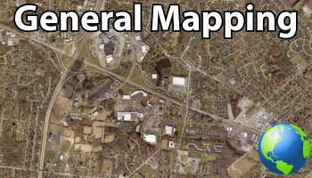
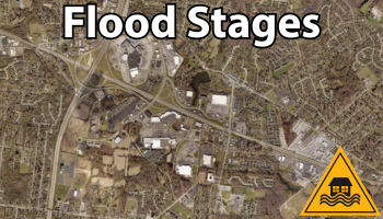
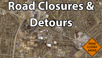
Interactive Maps Clermont County History StorymapThis storymap allows you to view and interact with maps and historical data showcasing some of the rich history of Clermont County. General Online MapsGeneral mapping site that allows users to search, measure, print, and identify GIS data in Clermont County. Ohio River Flood StagesAn interactive map showing water levels at various Ohio River Flood Stages. Road Closures & DetoursThis site shows current road closures & detours for County and State maintained roads within Clermont County. Engineer MappingThis site contains Monuments, Culverts, and Bridges in Clermont County. Places and Spaces 2010 Census BoundariesAn interactive map to find out what Census Block you live in. Low-Moderate Income Areas by Census BoundariesThis mapping application shows Clermont County Census Tracts and Block Groups with their HUD Low-Moderate Income data for FY 2015 Data Download MapThis map allows you to download GIS data in various formats within a user created box Quick start on how to use our maps